Plan the ultimate Baja Sur road trip through deserts, mountains, beaches, missions, Sea of Cortez towns, La Paz, Todos Santos, Loreto, and Cabo San Lucas.
Download the Baja Sur Map Download the Baja Sur RV GuideThe Map of Baja California Sur helps travelers understand one of Mexico’s most dramatic road trip regions: desert highways, remote beaches, mountain passes, the Pacific Ocean, the Sea of Cortez, and legendary destinations like La Paz, Loreto, Todos Santos, Los Cabos, and Cabo San Lucas. The original page highlights the state’s wild terrain and long driving routes through remote areas.
Use the map to plan routes, stops, beaches, towns, fuel breaks, and scenic detours across Baja Sur.
Download Baja Sur Map Download Baja Sur RV GuideSea of Cortez beaches, whale shark tours, island trips, waterfront dining, and a relaxed city atmosphere.
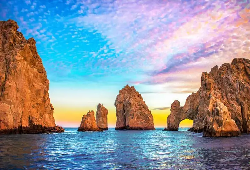
Home of El Arco, marina life, beaches, nightlife, fishing, resorts, and southern Baja’s most famous coastline.
Mission history, islands, kayaking, fishing, quiet streets, and easy access to Sea of Cortez scenery.
Art galleries, boutique hotels, surf beaches, farm-to-table dining, and one of Baja’s most beloved Pueblo Mágico towns.
A key northern Baja Sur stop known for gray whale watching, salt flats, and access to remote Pacific lagoons.
The legendary transpeninsular highway connecting Baja California with Baja California Sur.
The classic north-to-south Baja road trip runs roughly 750 miles from Ensenada to Cabo San Lucas. The original guide estimates about 17 hours of driving, but this route is best enjoyed slowly with stops in San Quintín, Guerrero Negro, Mulegé, Loreto, La Paz, Todos Santos, and Los Cabos.
The San Felipe to La Paz route crosses exciting desert and coastal terrain before reconnecting with Highway 1 toward Loreto, Ciudad Constitución, and La Paz. The original guide describes it as a long journey through beautiful terrain.
Before you cross, make sure you have Mexico insurance, border documents, and the right map for remote Baja routes.
Quote Mexico Auto Insurance Border Crossing Checklist Free Zone MapBaja Sur is meant to be explored slowly. Break up the trip with beaches, missions, ranch towns, seafood stops, and scenic overlooks.
Long stretches of Baja can be remote. Fill up when you can, especially before crossing desert sections.
The original guide specifically recommends keeping water in the vehicle because remote stretches can have limited services.
Confirm international coverage, download offline maps, and know how to dial in Mexico before leaving populated areas.
Planning to drive an RV, motorhome, camper van, or trailer through Baja Sur?
Download RV GuideExplore the northern half of the Baja Peninsula before heading south.
View Baja MapReview passports, insurance, FMM, pets, customs, and return-to-U.S. planning.
View ChecklistBaja California and Baja California Sur are generally permit-free for tourist vehicles.
View Free Zone MapYes. Even though Highway 1 is straightforward, Baja Sur has long remote stretches, limited services, and scenic detours where a downloadable map is helpful.
The original guide describes the route as roughly 750 miles and about 17 hours of driving, though most travelers should break it into several days.
No. Baja California and Baja California Sur are generally permit-free zones for foreign-plated tourist vehicles.
Yes. Baja Sur is one of Mexico’s best RV regions, especially for travelers who enjoy beaches, desert landscapes, fishing towns, and scenic coastal routes.