IMPORTANT FACTS ABOUT CHIHUAHUA

GEOGRAPHY OF CHIHUAHUA
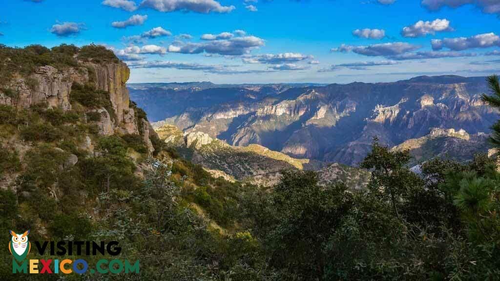
Chihuahua has a varied climate due to its three distinct geographical regions: mountains, plains, and desert. The Sierra Madre Occidental range accounts for about a third of the landscape; the highest point of the mountainous terrain is Cerro Mohinora, an extinct volcano. Yet, within the mountain range are valleys of coniferous forests making Chihuahua a bountiful source of the nation’s wood.
Click here to find the Chihuahua Maps (City and State). You can download the maps to your device for your convenience.
The mountains also have stores of minerals that have made mining an important Chihuahua industry. The plains begin at the foot of the mountains. They lie between the Sierra Madre Occidental and the desert. The desert lands also account for roughly a third of the state’s area; the Chihuahuan Desert forms part of the landscape of Coahuila and Durango as well as New Mexico, Texas, and Arizona. The Chihuahuan Desert is the second largest desert in North America. In spite of the desert climate, it contains Chihuahua’s largest city, Ciudad Juarez.
TOURISM N CHIHUAHUA
CHIHUAHUA, CAPITAL CITY
Located in the center of the state, the capital boasts a beautiful colonial center as well as many attractions that are popular among visitors. Some of the city’s most revered sites and attractions include the Temple of San Francisco, the Government Palace, El Palomar Central Park, the Church of Santa Rita, the Chihuahua Cathedral, and the Museum of Religious Art. For eco-adventurers, the Grutas de Nombre de Dios is a series of caves that are famous for their stalactites and stalagmites.
PARRAL
This city, widely known for its European style and charm, is less than 140 miles from the capital. Historically populated by many Spanish and French, the city retains many aspects of these peoples in terms of architecture and even culture. Some of the city’s most popular sites include the Plaza Guillermo Baca, the historic El Hotel Hidalgo, El Palacio de Alvarado, and the Francisco Villa Museum.
OTHER THINGS TO SEE AND DO IN CHIHUAHUA
- Copper Canyon: This notable series of six major (and many smaller) canyons bigger than the Grand Canyon. Located in the Sierra Madre in the southwestern region of Chihuahua, the landscape is one of the most important ecological attractions of the state.
- Paquime: Also known as Casas Grandes, this northern site is the most significant archaeological zone in the state. This Puebloan site was at its peak during the thirteenth century.
- Creel: This town is the gateway to the canyon country of the Sierra Tarahumara. It’s the ideal base for adventures that want to horseback ride or hike through the stunning surrounding landscape.
- Basaseachi National Park: With many scenic trails, this national park is home to Mexico’s highest waterfall.
- Cumbres de Majalca National Park: This area is one of the few regions in the countries where people can still see black bears; it’s a favorite place among hikers and bird waters, too.


