IMPORTANT FACTS
San Luis Potosi has an area of 23,546 square miles and a population of 2,613,759. Aside from the capital, other large cities in the state include Ciudad Valles, Rioverde, and Matehuala. The Greater San Luis Potosi Metropolitan Area is the tenth-largest in the country. The capital is one of Mexico’s major industrial centers. San Luis Potosí is a major mining state with large silver mines.
rcheologists believe that indigenous people settled in the region of San Luis Potosi as far back as 10,000 B.C. They believe the earliest groups were the Chichimecas, Huastecos, and Guachichile. The Huastecos founded cities in the region—some of which have only recently been discovered. By the time the Spanish arrived in the area, the Chichimecas had dominion over the area. Although Cortes conquered the Chichimecas soon after his arrival in 1522, the native people repeatedly rebelled throughout the sixteenth century. These uprisings continually affected the Spanish mining operations in the region and also resulted in a considerable loss of lives on both sides. This series of war was halted with the appointment of the Seventh Viceroy of Mexico who negotiated peace with the Native Americans in 1585.
Less than ten years later, additional gold stores were found in the state prompting ever more mining operations to come to San Luis Potosi throughout the seventeenth and eighteenth centuries. During the War for Independence, the territory remained under loyalist control until Mexico won the war. During the Mexican Revolution, the state was a major focal point since its railroad connected Mexico to the U.S. border region. Today, the state owes much of its prosperity to both its industry and agriculture.
GEOGRAPHY AND LANDSCAPE
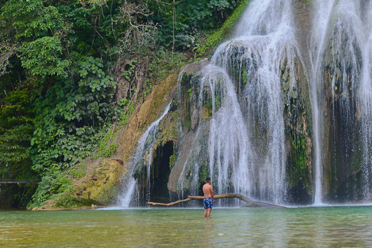
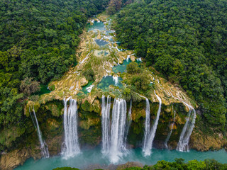
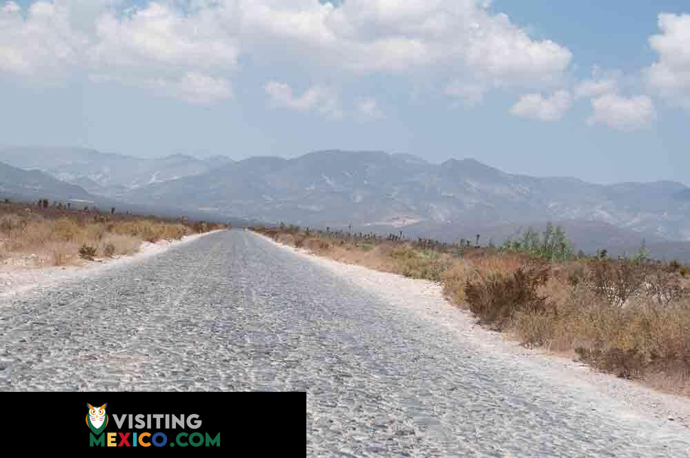
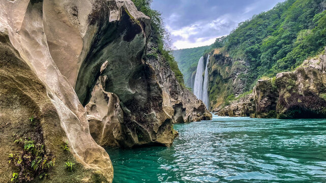
A great portion of the state lies on the Mexican Plateau. The eastern area of the state is on the Gulf Coastal Plain. The state’s historic mining industry was once on rich mines like the old site of Real de Catorce, a present-day ghost town. The state’s diverse topography has resulted in the diversity of its flora and fauna. The northern state is home to flora such as prickly pear and wild lettuce while other regions give rise to fruit trees and ferns. This woodsy and hot region of the state is “Huasteca” and borders the state of Veracruz to the east. The state is well known for wildlife like bobcats, deer, and wild boar. The climate of the state is essentially dry or partially dry while the territory closest to the Gulf of Mexico is known for its high humidity. San Luis Potosi boasts a few major rivers that flow through its jurisdiction such as El Salto, Moctezuma, Verde, and San Isidro as well as waterfalls and caves.
TOURISM
Plan a trip to San Luis Potosí

SPA • Romantic Dinner • Hyperbaric Chamber • etc

Pool • Digital Key • On-Site Restaurant • etc
