

Durango Hot Springs Guide
Bringing Pets to Mexico
City in Mexico
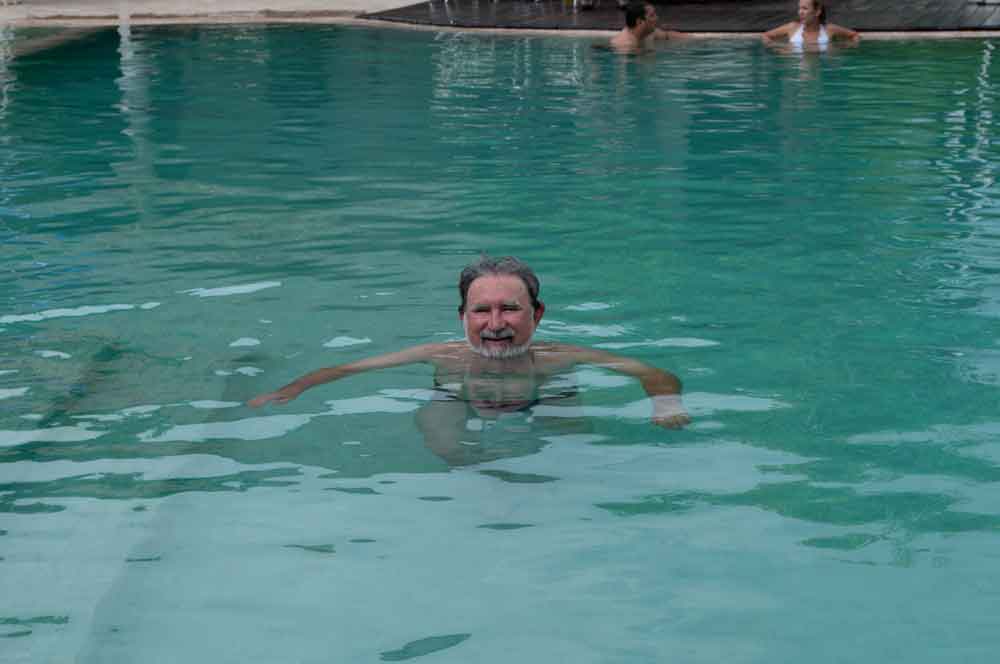
Durango has Several Hot Springs.
For a map to these hot springs, see the hot springs of Durango map.
Balneario San Juan is 3.5 miles east of the city of Durango on the highway to Torreon (Hwy #40). Take Blvd. Francisco Villa towards airport. Just before the airport is El Kilo Restaurant on the left. Take the road to 5 de Mayo., There are 8 pools of varying temperatures. The water is 48 degrees Celsius when it comes from the ground (118 Fahrenheit). This hot spring has 54 different salts, including iodine, calcium, magnesium and the ever present sodium. There is a restaurant. Cabins are for rent. PH: 814-129-5509.RV’s can park there overnight for a small fee. I do not know if there is security. It is your only choice of a campground in Durango City. My roadlog does highlight a Pemex station that allows parking overnight before you get to the turnoff for the Durango-Mazatlan toll road.
Sulfur Hot Springs Near Durango
Balneario La Joya de Atotonilco is 28 miles south of Durango on state highway #23. Both it and Balneario Mezquital (20 miles south in the town of Mezquital) have sulfurous waters. At La Joya, trailers or tents are welcome to camp overnight. However, I am not sure there will be a caretaker there, whereas the fairgrounds are in town and theoretically safer. Black water can be dumped free at the “oxidation lake.” Owner, Dr, Arnulfo Ibarra.
From Durango, take Blvd. Arrieta to the Mezquital highway. From Torreon, by airport is junction of Hwy. #45 from Zacatecas. Take overpass to #45. Just after the Balia bridge, take the smaller road to your right that takes you to the Mezquital highway.
Sulfur Hot Springs East of Durango
Balneario La Concha in Peñón Blanco is 70 miles east, on the way to Torreon via Hwy #40. (70 miles to Yerbanis, then 13 miles on state highway #1 to Peñón Blanco), then 8 miles south). Hot waters from a river that runs through a canyon 1650 feet long culminating in a waterfall. Locals say that UFO’s are frequently seen there.
This has a pre-Hispanic temazcal or sweat lodge. The waters are moderately hot. I tested them at 94-98 degrees, but city fathers swear they can get to 104 degrees Fahrenheit (-40 Celsius). There is a hotel and cabins. When Siviano Vengas was mayor, the city offered one month free parking for trailers or RV’s. I do not know if that is still true, but it cannot hurt to ask. You can dispose of black water for free at a special “oxygenation lake.” There are prehistoric paintings and eco tours to this fascinating area. Claims are made that your arthritis will be cured in 15 days of soaking. ¿Quien sabes?
The real jewel of the area is an hour’s drive (only 15.2 miles) over a dirt trail with lots of scary-looking cattle guards (open in the middle). You definitely have to have my map with GPS coordinates to find Jacala hot springs balneario. Water is 105-112 degrees Fahrenheit. You can rent a room from Maximo, the caretaker for maybe $15. During the weekend, the dormitories are open and you can rent a bed. This is out-of-the-way and one of the nicest soaks I’ve had. It is isolated (the nearby village has a aborrote tienda (general store) with a sad assortment of dried-out oranges and stale candy. They don’t sell water, but do sell Cokes. Better pack some precooked food and stuff that doesn’t need cooking. At night, there is no one around, except for some locals who work on the ranches nearby who show up to soak. They are friendly, if reserved.
RV’s can’t make it there (though an intrepid driver of a Class C might make the trek, though I’d be suspect of the cattle guards supporting your weight. A VW van, car, pickup or van could easily make the trip.
Hot Springs North of Durango
Thirty-seven miles northeast of Durango City on Hwy #45, there is a turnoff to the old road to Hidalgo del Parral, Chihuahua (Hwy #23). Go northeast on Hwy #40 for a few miles to Flores Magon. This is an old volcanic region with a lake. There are small hot springs pools in the area. If you go on the Hidalgo del Parral, there used to be the best cabrito restaurant in Mexico on the south side of the city, off the Periferico near the junction with Hwy #45. Let me know if it still exists and the name, please. Hidalgo del Parral was was assassinated on July 20, 1923.
If you go north instead on Hwy #23, for about thirty miles, you’ll see Lago Santiaguillo. The lake itself is not hot, but there are hot pools north beyond Nuevo Ideal. Most of them were a bust — pools, but not hot water. There are no camping facilities, at the hot pool in Sandia (believe me you need a map and directions to find this one), so you’ll have to stay at a hotel in Papasquiaro or Nuevo Ideal.
The hot springs pool in Sandia is a great find. There are two outside pools (for women and children) that are like a concrete hot tub. Water is about 106 degrees Fahrenheit. Men have a steamy enclosed room at about 108 degrees Fahrenheit. It is the only nude hot pool I know of in Mexico.
Lastly, I was told by someone that there is a hot spring fed by a live volcano in the northern part of the state, near the Chihuahua border around Hidalgo del Parral. Supposedly, you can soak in the spring and see the volcano spark, as you can at a hot spring in Costa Rica I visited. I have never been able to verify this, or pinpoint its exact location, but if you are wandering around there and find it, let me know.