

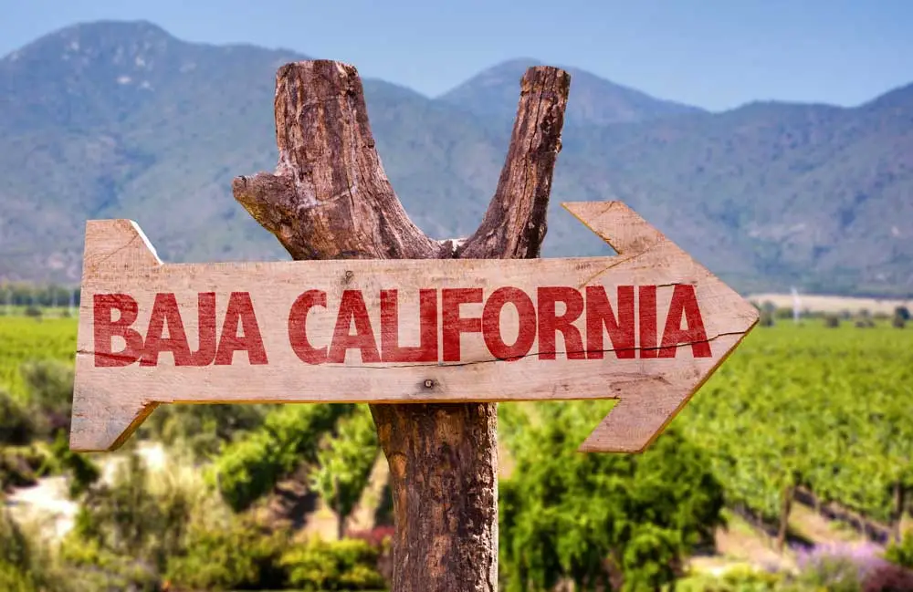
The Map of Baja California
Explore Baja California with our downloadable Baja map featuring major cities, beaches, border crossings, scenic highways, surf towns, wine country, and popular road trip routes from Tijuana to Ensenada, Mexicali, San Felipe, and beyond.
Download the Baja California Map
Get the printable Baja California travel map with highways, coastal routes, border crossings, and major destination references.
Download the Baja MapWhy Travelers Love Baja California
Baja California is one of Mexico’s most iconic road trip destinations. Stretching from the U.S. border to the Pacific Ocean and Sea of Cortez, the region combines desert landscapes, surf culture, fishing towns, wine country, mountain terrain, and coastal highways into one unforgettable travel experience.
Road Trip Tip: Baja is one of the easiest regions in Mexico for first-time drivers because of its proximity to California, simple highway network, and permit-free access throughout the peninsula.
Tijuana & Northern Baja
Tijuana serves as the primary gateway into Baja California and connects travelers to Rosarito, Ensenada, Tecate, and the famous Baja wine country. The coastal toll road between Tijuana and Ensenada is one of the most scenic drives in northern Mexico
- Tijuana border crossings
- Rosarito beaches
- Puerto Nuevo lobster village
- Valle de Guadalupe wine region
- Surfing and coastal drives
Mexicali & Desert Baja
Mexicali connects travelers to San Felipe, desert off-road regions, and eastern Baja routes along the Sea of Cortez. This side of Baja is known for warm weather, open roads, beach camping, and fishing destinations.
- Mexicali border crossing
- San Felipe beaches
- Sea of Cortez access
- Off-road racing culture
- Fishing and camping
Popular Baja California Destinations
Tijuana
Mexico’s busiest border city with food culture, nightlife, shopping, medical tourism, and easy access to the Baja coast.
Ensenada
Known for seafood, cruise tourism, ocean views, surfing, and Valle de Guadalupe wine country nearby.
San Felipe
A favorite Sea of Cortez beach town for RV travelers, fishing trips, off-road adventures, and snowbirds.
Rosarito
Popular for surfing, beach resorts, Baja nightlife, and quick weekend trips from Southern California.
Tecate
A quieter border crossing surrounded by mountain scenery, ranches, and Baja’s growing craft beer scene.
Baja Highways
Mexico Highway 1 runs the length of the peninsula and is one of North America’s most famous road trip routes.
Driving into Baja California?
Before crossing the border, make sure you understand Mexico insurance requirements, Free Zone rules, FMM permits, and driving regulations.
Quote Mexico Auto Insurance Border Crossing Checklist Free Zone MapPlanning an RV Trip Through Baja?
We are currently building a complete Baja RV Guide. If you or someone you know has experience RVing through Baja California or Baja California Sur and would like to contribute campground information, routes, travel tips, or destination content, we would love to hear from you.
Baja Travel Resources
Mexico Free Zone Map
Baja California and Baja California Sur are permit-free zones for foreign-plated tourist vehicles.
View Free Zone MapBorder Crossing Checklist
Review passports, FMM permits, insurance requirements, customs, pets, medications, and crossing tips.
View Border ChecklistBaja Off-Road Guide
Explore Baja’s legendary off-road racing culture, desert routes, and adventure travel destinations.
View Off-Road GuideBaja Surf Map
Find Baja surf breaks, beach destinations, and Pacific Coast surf travel resources.
View Baja Surf MapBaja California Map FAQ
Where is Baja California located?
Baja California occupies the northern half of the Baja Peninsula in northwestern Mexico and borders California and Arizona in the United States.
Do you need a Temporary Import Permit for Baja California?
No. Baja California and Baja California Sur are generally permit-free zones for tourist vehicles.
What is the best route from Tijuana to Ensenada?
Most travelers use the scenic coastal toll road (cuota), although a free highway route is also available.
Is Baja California good for road trips?
Yes. Baja California is one of Mexico’s most popular driving destinations because of its beaches, highways, surf towns, wine country, fishing villages, and scenic desert landscapes.
Can I drive my U.S. car in Baja California?
Yes. Tourists can drive U.S.-plated vehicles in Baja California, but Mexico auto insurance is legally required.